|
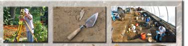
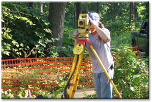
GIS Applications
We utilize GIS technology in virtually all of our projects.
By combining our sub-meter GPS capacity, survey equipment, and a full suite of ESRI software we produce highly accurate maps for report publication and to meet client needs for preservation planning. |