|
Landform Modeling
We are one of the first Cultural Resource Management firms in the north-central region of the United States to apply geomorphology to archeological research. Geomorphological considerations serve as a cornerstone in our survey, testing, and mitigation projects. In conjunction with geomorphologists, we have
coordinated the development of Landform Sediment Assemblage (LSA) maps of the Mississippi River valley for both the Rock Island District and the St. Louis District Corps of Engineers. These have proven invaluable for cultural resource management and preservation planning.
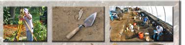
We utilize our truck-mounted Giddings soil coring machine, sub-meter GPS, survey equipment, software, experienced staff, and consultants for the development of highly accurate landform models. |